
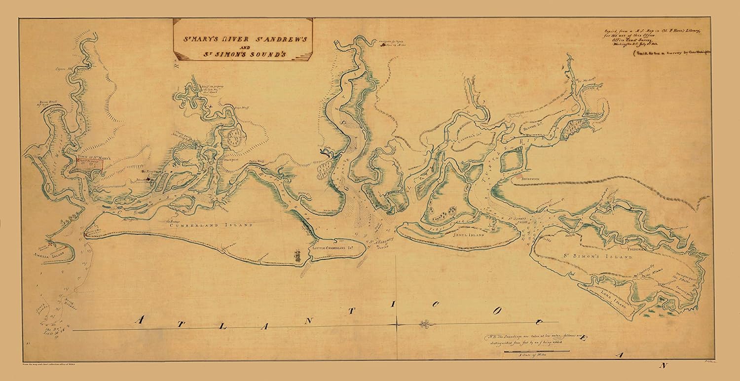
HullSpeed Designs Cumberland, Jekyll and St. Simon's Islands Map 1760 - Vintage Map Reproduction - Nautical Decor - Wall Art (18"x36")
Product details
| Management number | 215841008 | Release Date | 2026/04/19 | List Price | $19.98 | Model Number | 215841008 | ||
|---|---|---|---|---|---|---|---|---|---|
| Category | |||||||||
Print of the NOAA historical chart. We take great care to ensure that the best materials, packaging and service are part of every order. PRINTING PROCESS: Maps are printed on high-end professional equipment using art-quality archival inks and paper. The paper used for >18”x18” prints is an acid-free 32lb bond with a smooth matte finish. Prints <13”x19” are printed on sturdy acid-free card stock with a matte finish. Professional grade inks provide rich and authentic color and are acid-free so prints will not fade over time. The size of each print refers to the actual size of the paper on which they are printed, leaving a .25” white boarder around the image. The prints fit nicely inside standard sized frames of the same dimension. DIGITAL RESTORATION All maps are digitally restored to provide a clean, clear and beautiful map that honors its period of origin. Imperfections are removed (creases, smudges, tears, discoloration, non-original stamps, etc.) The result is a gorgeous map reproduction true to its historical vintage. PACKAGING AND SHIPPING All prints are well packaged in sturdy tubes or envelopes to offer guaranteed protection. Prints sized 13”x19” or smaller ship flat inside a sturdy cardboard shipping envelope with a cardboard insert for added reinforcement. Each print is sealed inside a clear poly sleeve for protection and presentation. Prints sized 18”x24” or larger ship loosely rolled in a sturdy shipping tube. Each print is inside a plastic sleeve to add protection during shipping and in removing the print. We fulfill orders quickly and your print will arrive safely or we will replace it.
- VINTAGE MAP REPRODUCTION: Add style to any room’s decor with this classic map. Perfect Gift for your Home or Office.
- METICULOUSLY RESTORED: Our nautical charts and maps are digitally restored to remove imperfections (creases, smudges, tears, discoloration caused by age, non-original stamps, etc.). The result is a gorgeous map reproduction true to its period. Made in the USA.
- HEAVYWEIGHT PAPER: Printed on high-quality paper with a smooth matte, non-glare finish. The paper used for 18”x18” prints and larger is an acid-free 32lb bond. Prints 13”x19” and smaller are printed on sturdy acid-free card stock.
- PROFESSIONAL GRADE INK: Acid-free professional grade ink provides a rich and authentic color and ensures that the prints will not fade over time.
- READY TO FRAME: Save on custom framing! Maps fit easy-to-find standard frames 11x14, 13x19, 18x24, 24x36. Larger sizes available. All prints are packaged and shipped in sturdy tubes or envelopes to offer guaranteed protection.
| UPC | 642554817682 |
|---|---|
| Map Type | Historical |
| Brand Name | HullSpeed Designs |
| Paper Size | 13 x 19 Inches, 18 x 24 Inches |
| Manufacturer | HullSpeed Designs |
| Paper Finish | Matte, Smooth |
| Item Dimensions L x W | 36"L x 18"W |


Bestseller ranking
Maps


Correction of product information
If you notice any omissions or errors in the product information on this page, please use the correction request form below.
Correction Request Form